The 4 routes to the Summit of Mount Fuji
Mount Fuji can be climbed via four main routes, each starting from a different 5th Station. All of them lead to the summit at 3,776 m, but they vary in difficulty, duration, and popularity. Discover which trail suits you best.
Yoshida trail (most popular)
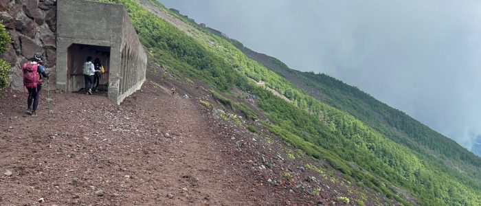
The Yoshida Trail is by far the most popular and accessible route to Mount Fuji’s summit. It’s well-maintained, clearly marked, and offers the best mountain hut infrastructure—ideal for first-time climbers. Many huts sell warm food, drinks, and souvenirs, and you can reserve a bed to rest overnight before the final ascent for sunrise (“Goraikō”).
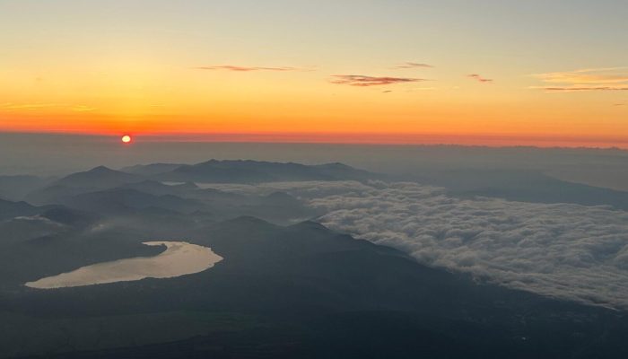
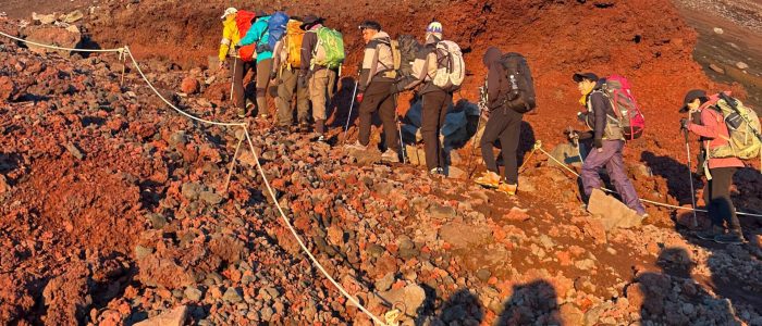
The ascent and descent routes are separate, which helps manage crowd flow. Along the way, climbers can enjoy views of the Fuji Five Lakes region and, on clear days, even Tokyo’s skyline. However, it also means this trail gets very crowded during peak season (especially July–August).

- Location: Yamanashi Prefecture (north side of Mount Fuji)
- Starting point: Fuji-Subaru Line 5th Station (2,305 m)
- Distance: ~14 km round trip
- Average climb time: 5–7 hours up, 3–5 hours down
- Best for: Beginners and social climbers
Highlights:
- Largest number of mountain huts and facilities
- Best option for first-time climbers
- Famous for sunrise views (“Goraiko”) from the summit
Challenges:
- Heavy congestion
- Volcanic gravel makes the descent slippery.
Tickets:
- The climbing season has ended
- Tickets will be available for purchase at a later date.
Subashiri Trail
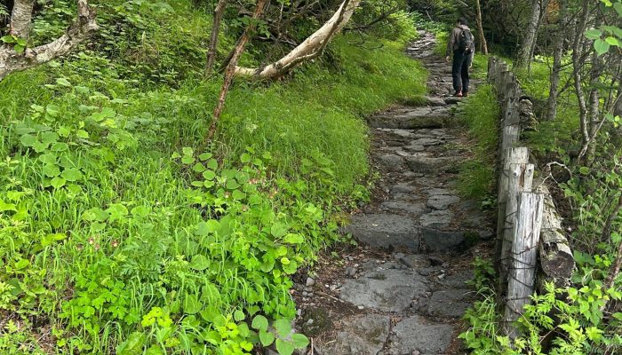
The Subashiri Trail begins in lush forest, offering a peaceful start with plenty of greenery — a contrast to the barren volcanic slopes higher up. It joins the Yoshida Trail around the 8th station, so the upper part can become busier.
The “Osunabashiri” (great sand run) on the descent is a highlight — climbers can literally run or slide down soft volcanic ash, which is fun and fast.

- Location: Border of Shizuoka and Yamanashi Prefectures (east side)
- Starting point: Subashiri 5th Station (2,000 m)
- Distance: ~16 km round trip
- Average climb time: 6–8 hours up, 3–5 hours down
- Best for: Intermediate climbers who prefer nature and fewer crowds
Highlights:
- Starts in a beautiful forest with wildlife.
- Less crowded in the early stages.
- Fun sandy descent zone (“ash run”).
Challenges:
- Lower visibility in foggy conditions (especially in the forest).
- Shared summit route with Yoshida means potential crowding near the top.
- Loose volcanic ash on descent can be slippery
Tickets:
- The climbing season has ended
- Tickets will be available for purchase at a later date.
Gotemba Trail (Longest & Least Crowded)
The Gotemba Trail is the longest and least crowded route to Mount Fuji’s summit. Starting from a much lower altitude, it has a huge elevation gain and few facilities, making it a true endurance challenge. The environment is wide open with little vegetation — mostly ash, sand, and rock — offering an almost lunar landscape.
The descent is famous for the “Osunabashiri”, an even larger sand slope than on Subashiri, where climbers can descend quickly by sliding or jogging through the volcanic ash.

- Location: Shizuoka Prefecture (southeast side)
- Starting point: Gotemba 5th Station (1,440 m — the lowest of all trails)
- Distance: ~18 km round trip
- Average climb time: 7–10 hours up, 3–6 hours down
- Best for: Experienced climbers and those seeking solitude
Highlights:
- Minimal crowds and a sense of wilderness.
- Excellent training route for endurance climbers.
- Huge, open volcanic landscapes.
Challenges:
- Very long route, not recommended for beginners
- Few mountain huts or shelters.
- Weather exposure (no tree cover).
Tickets:
- The climbing season has ended
- Tickets will be available for purchase at a later date.
Fujinomiya Trail (Shortest to Summit)
The Fujinomiya Trail is the shortest and steepest route to Mount Fuji’s summit. Because it starts at the highest elevation, it’s the fastest route overall, but the incline is quite steep. It’s the second most popular trail, with several huts and rest points along the way.
It offers great views of Suruga Bay, and you can even see the Pacific Ocean on clear days.

- Location: Shizuoka Prefecture (south side)
- Starting point: Fujinomiya 5th Station (2,400 m — the highest starting point)
- Distance: ~10 km round trip
- Average climb time: 4–7 hours up, 2–4 hours down
- Best for: Those short on time or climbing from Shizuoka side
Highlights:
- Shortest and most direct route to the top.
- Beautiful ocean views.
- Good facilities and accessibility from Shizuoka.
Challenges:
- Steep incline — not ideal for beginners.
- Ascent and descent share the same path, which can cause congestion.
- Steep and rocky terrain, less scenic than other routes
Tickets:
- The climbing season has ended
- Tickets will be available for purchase at a later date.
